
Sound-Front Due Diligence on Edenton Bay: What to Check

In this post
- The 75-foot line, and why it is not a no-build zone
- Start with the permit record, not the listing
- What the bulkhead rules require, in numbers
- Living shorelines are the answer the state prefers
- Flood insurance is a two-step, and the second step has a clock
- Two approvals, not one
- The honest trade-off
- Before you write the offer
- The bottom line
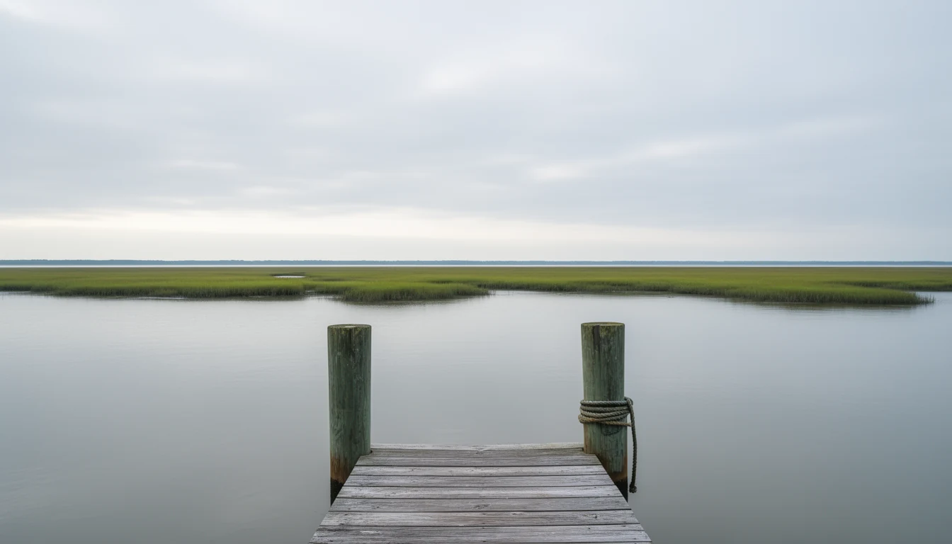
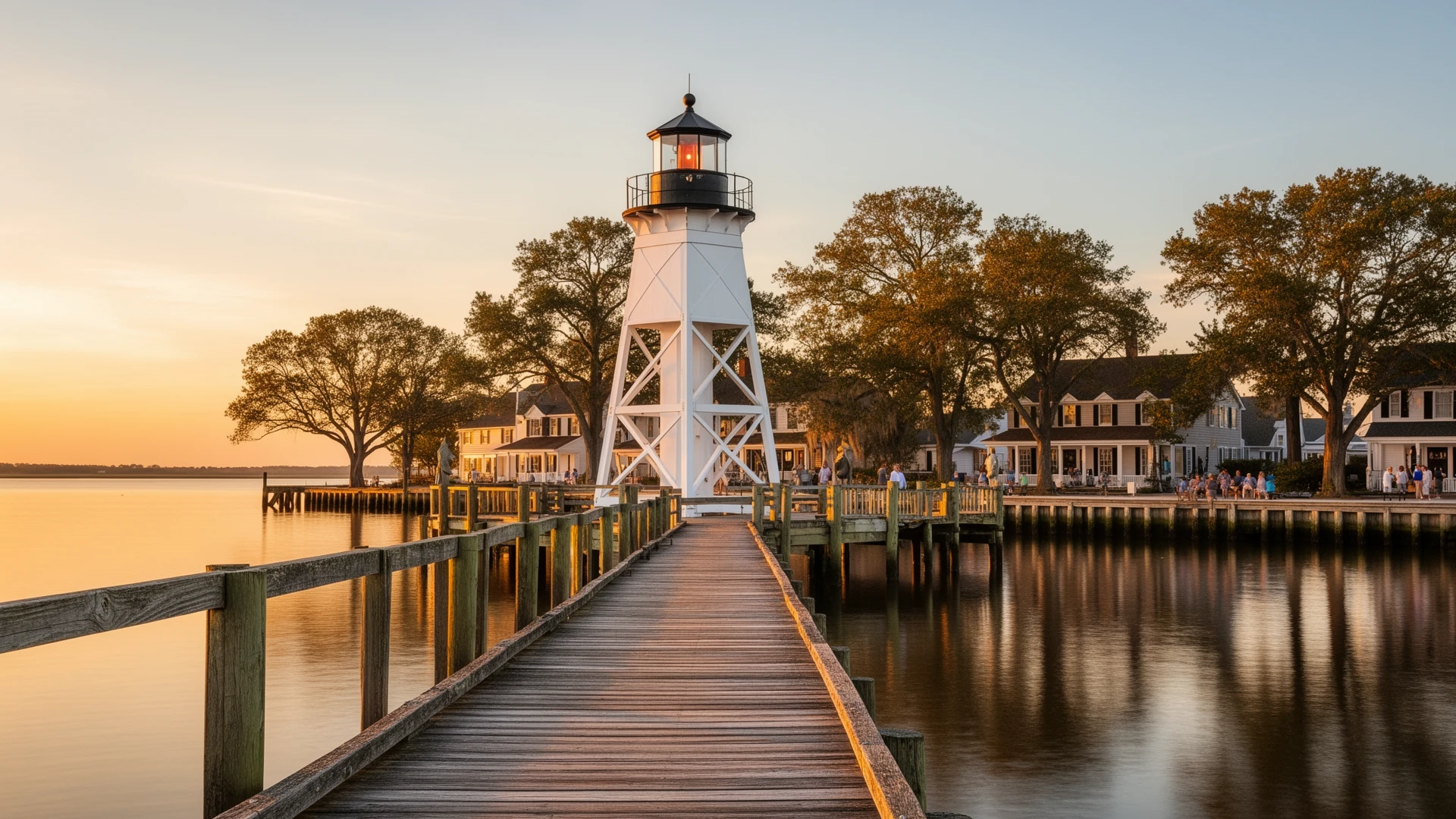
You hear the sound before you see it. Stand on the town dock at the foot of Broad Street in Edenton, and the water is right there, flat and pewter in the morning light, slapping the pilings under the 1886 Roanoke River Lighthouse. A heron works the shallows off the waterfront park. Somebody’s crab pot line runs out toward the channel. It all looks permanent.
It is not. The shoreline you are standing on is a moving system. It gives up ground in storms, it shifts with boat wakes and tidal currents, and it is losing slowly to rising sea level. That is why the state regulates what gets built there, and it is why a sound-front purchase in Chowan County is a different kind of diligence than a house four blocks inland.
Here is what actually matters on a lot that fronts Edenton Bay, Queen Anne’s Creek, or Pembroke Creek: where the 75-foot line falls, what permit record exists for the structures you are buying, how the bulkhead rules work now, and what flood insurance will ask of you before closing.
The 75-foot line, and why it is not a no-build zone
North Carolina’s Coastal Area Management Act passed in 1974 and applies in 20 coastal counties. Chowan is one of them. If a project is in an Area of Environmental Concern, it needs a CAMA permit, whether that is a new dock, an addition, a driveway, or a clearing.
The AEC that catches most sound-front buyers is the estuarine shoreline. It reaches 75 feet landward from normal high water. Two other distances show up in the same rules: 30 feet from normal water level along designated inland fishing waters, and 575 feet along Outstanding Resource Waters. For a lot on Edenton Bay, plan on the 75-foot band running the full length of your water frontage.
Seventy-five feet is not a prohibition. It is a permit zone. People build decks, sheds, pools, and additions inside that band regularly, and the paperwork is routine. The buyers who get hurt are the ones who purchase a parcel where somebody skipped the paperwork years ago and left the structure behind.
Start with the permit record, not the listing
The state keeps a searchable permit database, and the Division of Coastal Management can tell you what has been permitted on a parcel. Ask by address and by owner name, and ask for more years back than you think you need, because the structures that matter are often older than the current owner.
Then walk the shoreline at low water and compare the record against what is physically there: the dock, the pier, the boat lift, the bulkhead, the boathouse, the steps down the bank, the riprap. Anything in the water or inside the 75-foot band with no permit behind it becomes your problem at closing, because the liability for unpermitted work in an AEC does not stay with the seller. After-the-fact approval is not guaranteed, and the remedy can be removal of a structure you already paid for.
Chowan County falls to the division’s Elizabeth City field office, which also covers Camden, Currituck, Dare, Gates, Pasquotank, and Perquimans. A phone call there is the cheapest hour of diligence in the whole transaction.
What the bulkhead rules require, in numbers
Bulkheads are the default answer on nearly every eroding estuarine shoreline in the state, and the general permit that covers them is specific. Under 15A NCAC 07H .1100, on a shoreline without wetland vegetation, a new bulkhead may not extend more than 5 feet waterward of normal high water at any point along its alignment. A riprap revetment is allowed up to 10 feet waterward. Where wetland vegetation is present, all of the work has to sit landward of that vegetation. The general permit covers a maximum of 500 feet of shoreline, the alignment has to be marked on site with a division representative before work starts, and the authorization expires if construction is not finished within 120 days.
The fees are published, too: $400 for a bulkhead, $200 for riprap sited at or above normal high water, and $400 for riprap sited below it.
Alignment is the detail worth carrying into a showing. A bulkhead that sits well out past the natural bank is a structure in public trust waters, and it changes how the water moves against everything down-current of it. Replacement bulkheads have their own tighter limits, so a seller who replaced one recently either has the authorization on file or has a question to answer.
Docks run under their own general permit. A private pier may extend up to 400 feet waterward of normal high water, it may not be wider than 6 feet, and the permit limits it to the landowner’s own use, which means a dock that has been rented out or used commercially is outside the general permit’s terms.
Living shorelines are the answer the state prefers
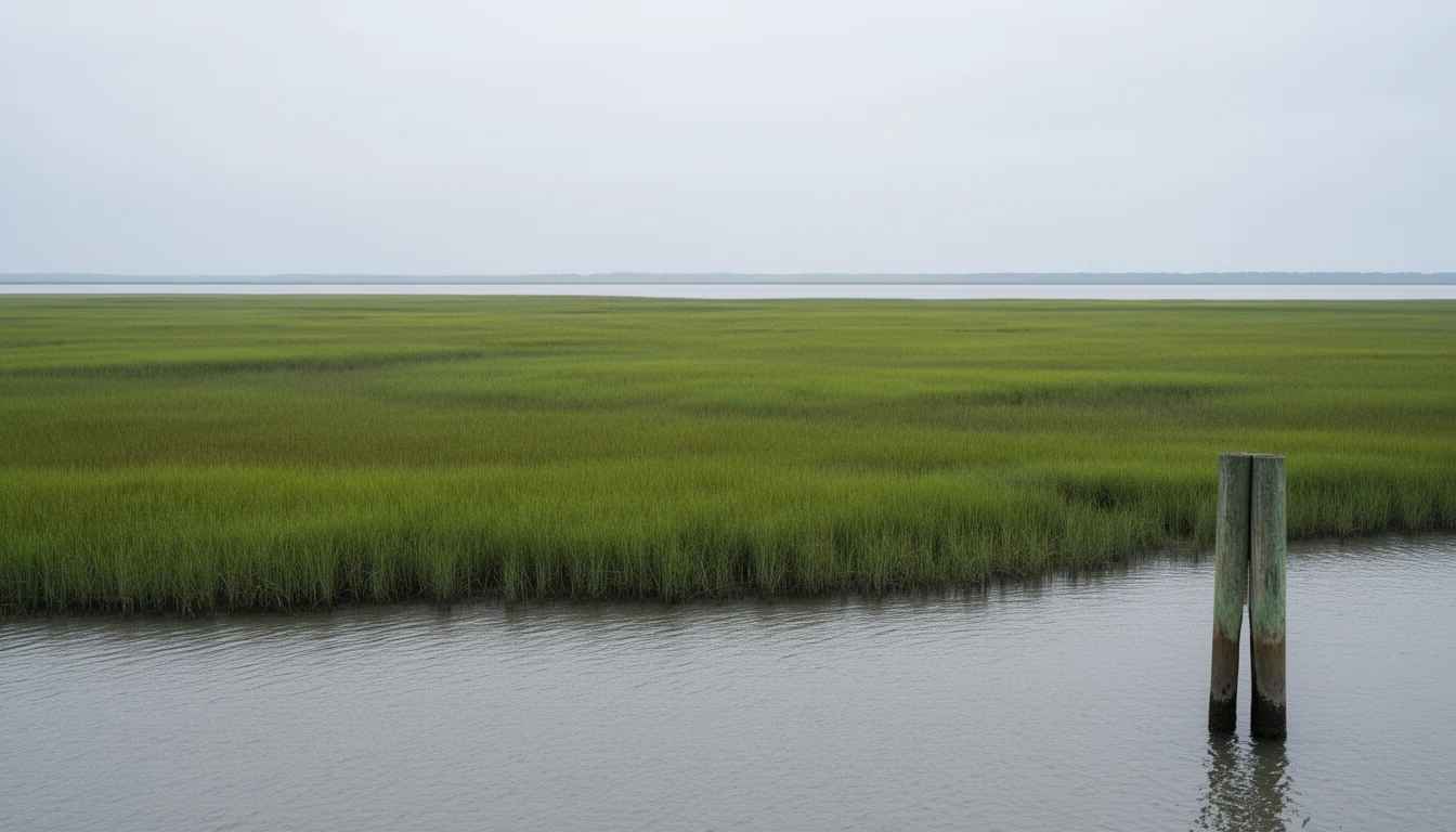
Bulkheads hold a bank. They also stop marsh from migrating and they take soft-bottom habitat out of the system, which is why the Division of Coastal Management lists a long menu of alternatives: land planning, vegetation plantings, marsh toe protection riprap, marsh sills, revetments, and groins.
Two of those need no permit at all. Leaving the shoreline alone and planting or preserving wetland and upland vegetation are both unpermitted options, and the state’s own guidance calls vegetation the cheapest and most environmentally sound stabilization method available, with a planted width of 10 to 20 feet preferred to take the energy out of wave action. If you want a sill or a revetment, those are permitted through general or major permits, and a sill is limited to waters that average less than 3 feet deep along the alignment.
Practically, this is the item to price before you commit. Get two quotes from contractors who work Chowan County shorelines, ask each one to price both a bulkhead and a living shoreline option, and ask what access they need to get equipment to the bank. Then ask how long the authorization takes, and build that into your carrying costs if the structure is failing.
Flood insurance is a two-step, and the second step has a clock
Every sound-front parcel in Chowan County needs the same first check: pull the actual Flood Insurance Rate Map panel for that parcel from the FEMA Flood Map Service Center. Not the listing agent’s summary of it, and not the map for the neighborhood. Flood zone lines split blocks and split single lots.
If the parcel lands in a Special Flood Hazard Area, the second step is the elevation certificate, which is what the insurance rating is built on. Ask the seller for theirs first. If there is not one, commission your own, and do it early enough that the quote is in hand before your diligence period runs out.
Then watch the calendar. A new National Flood Insurance Program policy typically carries a 30-day waiting period before coverage takes effect. There are exceptions, including coverage required by a government-backed lender and policies tied to a flood map revision, but you do not want to learn about the clock in the week you are supposed to close. Get your agent to quote from the elevation certificate, not from the zone alone.
Two approvals, not one
If the property sits inside Edenton’s local historic district, you have a second review layer on top of CAMA. The Historic Preservation Commission reviews exterior changes to historic structures, and a Certificate of Appropriateness is not a CAMA permit. Neither one substitutes for the other. They run on different criteria and different calendars, and a shoreline project on a historic waterfront parcel can need both before a shovel moves.
Edenton’s historic district is not decoration. The town was laid out in 1712 on Queen Anne’s Creek and served as the colonial capital until 1743, and the 1767 Chowan County Courthouse still anchors the green at the head of East King Street. If you are buying water frontage inside that district, budget for both timelines and expect the historic review to care about materials and massing while CAMA cares about alignment and habitat.
The honest trade-off
Sound-front ownership in Chowan County is not a low-maintenance purchase, and it is not a fast one. Permits on anything beyond a routine general permit run in months, not weeks. Waterfront structures need maintenance, and the bank in front of your house is going to want money at some point, whether that is a bulkhead, a sill, or a load of riprap after a storm season. Insurance on a parcel in a Special Flood Hazard Area is a real monthly number, and it should be in your budget before you fall in love with a pier.
What you get for it is the reason people move here. The Albemarle goes flat and silver most mornings. The 1886 lighthouse sits on its pilings a few minutes from the dock. You can launch a kayak at the end of the street, watch herons work the shallows from your own bulkhead, and walk to coffee through a district that has been on the water for three centuries. That is a real trade, and it is worth making on purpose rather than by accident.
Before you write the offer
- Pull the FIRM panel for the specific parcel and confirm the zone.
- Ask the Division of Coastal Management field office in Elizabeth City for the permit record on the parcel, by address and by owner.
- Walk the shoreline at low water and list every structure inside the 75-foot band.
- Check the alignment of the bulkhead and compare it to the record.
- Request the elevation certificate, or commission one, and get an insurance quote from it early.
- Ask whether the parcel is inside the local historic district, and whether any shoreline structure has been through review.
- Read the deed and the plat for riparian rights, shared dock agreements, and easements along the water.
- Get two stabilization quotes if the bank is failing, and ask about permit timelines.
The bottom line
A sound-front lot in Edenton is a good thing to own. It is also a piece of regulated shoreline with a paper trail, and the paper trail is what protects your money. Pull the map, pull the permits, walk the bank, and quote the insurance before you commit. The buyers who do that are the ones who end up enjoying the water instead of litigating it.
This is a buyer’s diligence guide, not legal advice or an engineering report. CAMA rules, fees, and permit procedures change, so verify the current requirements with the Division of Coastal Management and your closing attorney before you act on a specific parcel.
Keep reading
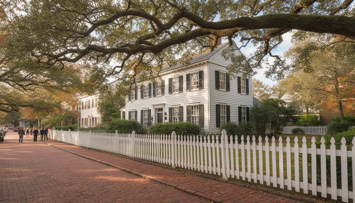
How Edenton's Colonial Grid Shapes What You Buy
Edenton was laid out as a colonial capital. Here's how the 1722 street grid still shapes parking, lot lines, and renovation rules today.
What NC Buyers Risk When They Back Out in Edenton
A 2022 NC Supreme Court ruling confirmed buyers who breach a purchase contract can owe attorney's fees. What it means for Edenton buyers.

7 Inspections 100-Year-Old Homes Need That New Builds Don't
Seven inspections that matter when buying a century-old home in Edenton: wiring, foundation, plumbing, roof, chimney, termites, and HVAC retrofits.