
How Edenton's Colonial Grid Shapes What You Buy

In this post
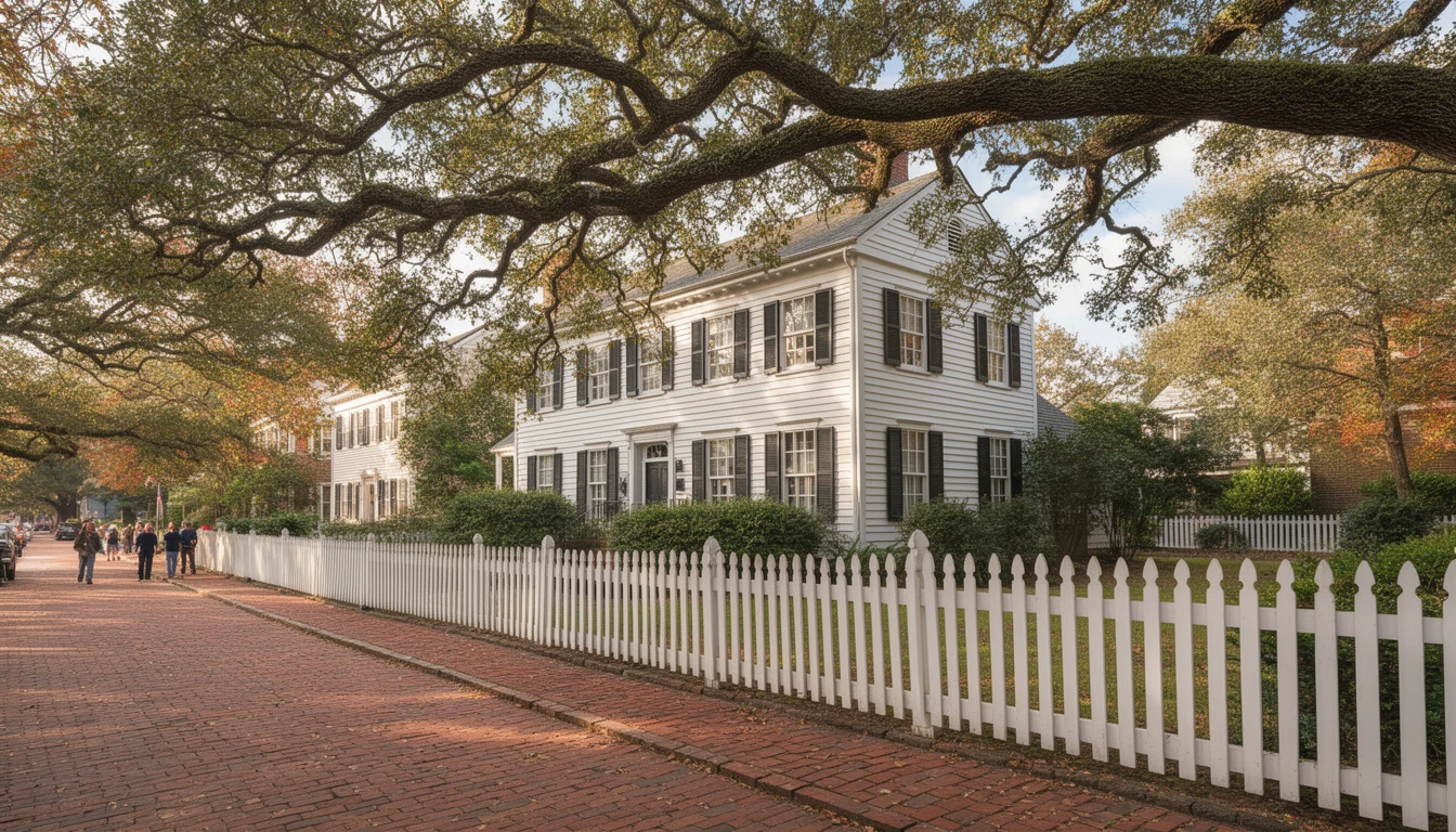
The light in mid-October comes in low off Edenton Bay and hits the brick on Water Street at an angle. You can smell the river two blocks back. If that’s the reason you’re shopping here, it’s worth knowing the streets you walk to get to it were drawn for a government town in the 1720s.
Edenton was incorporated in 1722 and named for Governor Charles Eden. For the next twenty-one years it was the capital of the colony, until the seat of government moved south to Brunswick in 1743. What that era left behind isn’t only the courthouse and the plaques. It’s the shape of the lot you’re about to buy.
A water-first plan, not a subdivision
The town started in 1712 as the settlement on Queen Anne’s Creek, and the first courthouse went up at the fork of that creek in 1718. For a while it was the Port of Roanoke. Then it became Edenton, and the plan that survives is a port plan: everything answers to the shoreline, and the streets behind it stack in rows.
Water Street holds the bulkhead, with the bay on one side and the town on the other. Behind it, the cross streets run parallel to the water. King, Eden, Queen, Church, Gale, Freemason. The streets that connect them run inland. Broad, Court, Colonial Avenue, Oakum.
That’s the map for reading listings. A house on King Street is a waterfront-block house. A house two rows back on Gale or Freemason is inland residential, and the lots are different, the traffic is different, the shade is different.
Broad Street is the only through street
Broad Street carries US 17 Business straight through the middle of town. Insurance offices, the pharmacy, the curb cuts that serve them. The state’s own historical marker for the courthouse is set on US 17 Business at Broad Street.
For a buyer, that’s a sorting tool. Frontage on Broad means visibility and through traffic and a commercial neighbor sooner or later. A block off Broad means you walk to the same coffee shop without hearing a delivery truck downshift at 6:40 in the morning. Most of the residential inventory inside the district sits in the blocks behind that commercial spine.
The courthouse block
The 1767 Chowan County Courthouse stands on East King Street, on the ground it was built on. Joseph Hewes and Jacob Blount pushed the plan through the assembly in the fall of 1766. The building went up in Flemish-bond brick with Georgian symmetry, a courtroom on the ground floor paved with English ballast stone, and an assembly hall upstairs that ranked among the largest in the colony.
Nobody knows who drew it. Historians point to Gilbert Leigh or to John Hawks, the architect of Tryon Palace. The county built a modern courthouse in 1979, and the 1767 building is still in use and still open to the public. It was named a National Historic Landmark in 1970.
Why that matters at a closing table: the blocks around a landmark draw the closest attention from the preservation commission and the most competition from other buyers. Highest price per square foot in the county, and the least patience for a bad exterior alteration.
The anchors that survived
The reason this grid still reads as a colonial town instead of a memory of one is the buildings standing on it. St. Paul’s Episcopal Church dates to 1736. The Cupola House went up in 1758, the Barker House in 1782. The state runs the courthouse and the James Iredell homesite together as Historic Edenton, and the other three are open on conducted tours.
That concentration is what a buyer is paying for. It’s also why the street wall matters here in a way it doesn’t two miles north. On these blocks, a house is judged against its neighbors on both sides, and the commission reads the whole row, not just your facade.
Where the grid stops being historic
Drive north out of the core and the same town keeps going with none of the same rules. The in-town blocks outside the local district run from 1940s brick ranches to 1990s capes, on town water and sewer, with driveways and no commission. That’s the trade most buyers actually make when the paperwork on a 1900 house starts to look heavy.
You keep the walk and the distance to the waterfront. You lose the brick sidewalk and the historic fabric, and you gain a garage that fits two cars.
What an old grid costs you
Parking is the first thing I’d check, and it’s the thing buyers arriving from newer subdivisions underestimate. These lots were platted before the car. Plenty are narrow enough that a two-car driveway eats the side yard. If you want a new curb cut inside the local historic district, that’s an exterior change visible from a public street, and in practice it goes through a Certificate of Appropriateness.
Corner lots carry two public frontages. More light, more windows, and two sides of the house that any future project has to satisfy.
Rear additions are where these deals get interesting. A screened porch or a kitchen bump-out on the back of a 1900s house is often the only way to add square footage, and it still needs commission review. Ask for the paper trail on any addition already standing. A previous owner’s unpermitted porch becomes your problem the day you try to insure the house or sell it.
And the trees are doing what old trees do. Live oaks and pecans push roots under brick, and brick sidewalks heave. Before you buy, find out who maintains the sidewalk in front of the house.
What the grid pays you back
The 2020 census put Edenton at about 4,460 people. Small enough that the grid works on foot. You can park once on a Saturday, buy coffee on Broad, walk down to the bulkhead, and be back at the truck inside a mile of walking.
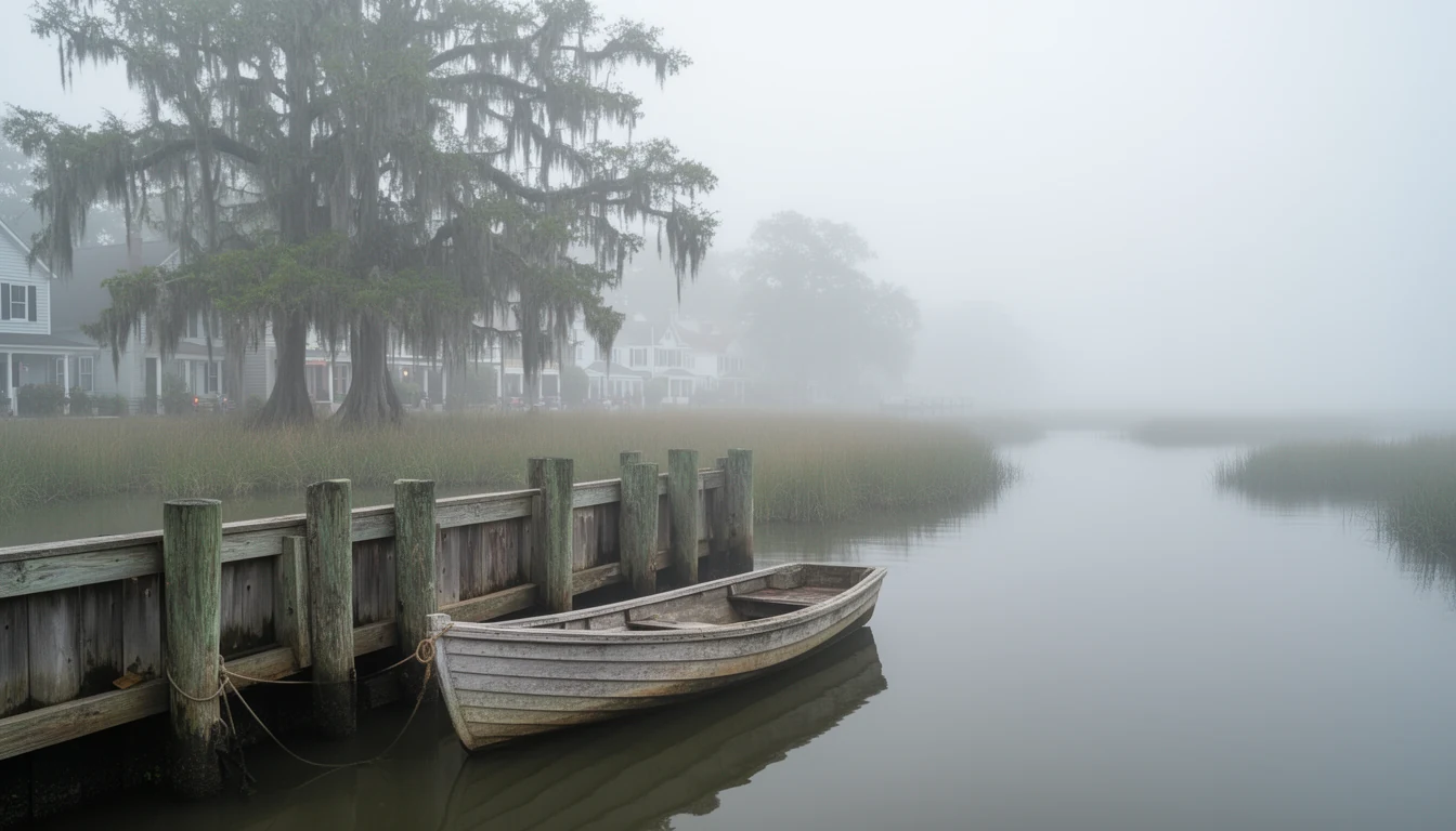
The waterfront blocks are their own category. If you’re looking at Water Street or the first rows behind it, the elevation certificate and the flood insurance quote decide more about your monthly payment than the list price does. Run that math before you get attached to a view.
How to read a listing on this grid
Five checks, in the order I’d run them.
- Which street, and which way does the front door face? Cross streets face the water or face inland. That sets your afternoon sun, your wind, and what the commission treats as the public view.
- Mid-block or corner? Corner means two frontages and usually more windows to maintain.
- Where does the car go? Existing driveway, on-street only, or nothing at all. Confirm with the town before assuming a curb cut is allowed.
- Any rear addition, and was it permitted? Ask the seller for the permits and any approval letter, then verify with the town yourself.
- What’s the flood zone and the elevation? Water Street and the rows nearest the bay carry the most exposure.
What I’d tell a buyer
The grid is the value and the constraint at the same time. You’re buying a lot drawn when this town was the colony’s capital, on a street named for a governor, with a courthouse at the center that’s been in continuous use since 1767. That’s why the houses hold their value here.
It’s also why you can’t widen the driveway without a hearing.
Walk the block before you write the offer. Stand where the front door faces and look at what the commission would see. If that view is the reason you’re buying, the paperwork is worth it.
Keep reading
Sound-Front Due Diligence on Edenton Bay: What to Check
How CAMA's 75-foot shoreline rule, permit records, bulkhead alignment, and flood insurance shape an Edenton sound-front purchase.
What NC Buyers Risk When They Back Out in Edenton
A 2022 NC Supreme Court ruling confirmed buyers who breach a purchase contract can owe attorney's fees. What it means for Edenton buyers.

7 Inspections 100-Year-Old Homes Need That New Builds Don't
Seven inspections that matter when buying a century-old home in Edenton: wiring, foundation, plumbing, roof, chimney, termites, and HVAC retrofits.